Habitat mapping using ArcGIS and QGIS
We use both ArcGIS and QGIS to create accurate habitat maps
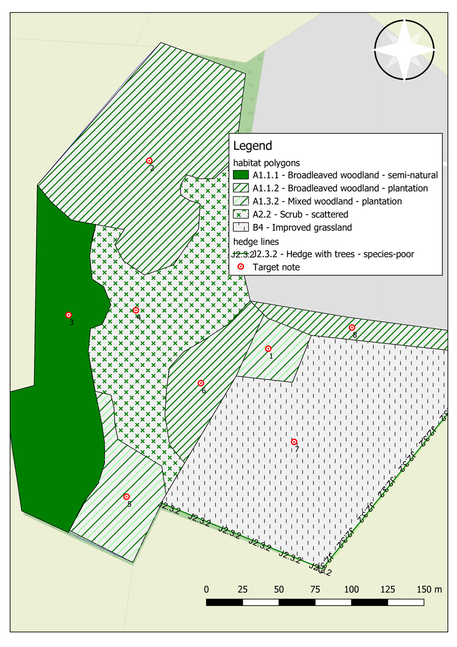
We use both ArcGIS and QGIS to create accurate habitat maps of existing land-use. Mapping can be created by acquiring Ordnance Survey map data and using pre-defined pallets within the software to assign the correct habitat classification to an area. For example, JNCC’s Phase 1 Habitat Survey can be applied to a habitat map and displayed digitally.
Habitat maps are used on a wide range of projects in order to deliver visual information to planning authorities, architects and developers.
Project Services

